
Made by a photographer, for the drive.
Who builds Sky Sync and why.
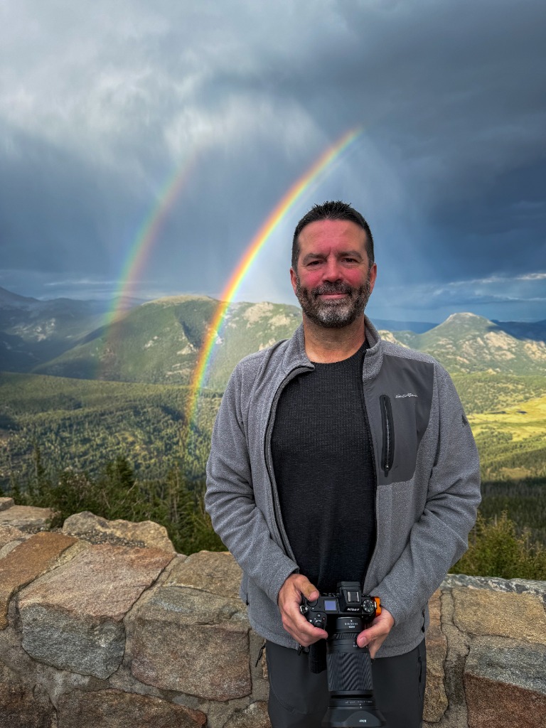
I'm a nerd with a camera. I spend most of my days understanding technology and deploying it in ways that improve people's lives. I also try to take pictures of things that can't move (aka Landscape Photography). Bringing the two together has been an absolute joy.
I have long been frustrated by 2.5 hour drives into the mountains to end up with a bald sky, or no inversion, or a sealed deck. So my inner nerd went to work, crafting an app that would help me make the right call, and save my precious time since photography is a hobby I have to balance with everyday life and work.
It was important to me to use science at the core of the app, and to understand how well the app performed, so that's what I did. The forecast is based in physics, and we capture live observation data across 100 sites every day to see how well the app is performing. This means we are able to constantly analyze and improve. A year from now the app should be better than it is today.
Anyway, that's my story. I hope you find the app helpful, and I would love to hear from you if you did or didn't!
Sky Sync is a Kuhela product, alongside Shutter Sync and Shortlist Studio. Shutter Sync · Shortlist Studio
Built to protect the buildup, not automate it away.
A photograph is not the half second you press the shutter. It is the hike, the patience and everything that led up to it. Sky Sync handles the forecast so you can keep the craft.